
Blitz Bureau
NEW DELHI: A thirty-two-year shoreline survey settles an old argument with a number. India’s coastline is not simply washing away — it is moving, in both directions, and the districts losing land are not the ones most people would name.
The National Centre for Coastal Research, which works under the Ministry of Earth Sciences, has assessed shoreline change along Odisha’s 564.14-kilometre coast for the period 1990 to 2022. Of that length, 28.3 per cent is under erosion, 54.1 per cent is gaining land through accretion, and 17.6 per cent is stable. The figures were placed on the record in the Rajya Sabha by the Union Minister for Ports, Shipping and Waterways, Sarbananda Sonowal.
The headline usually written from a dataset like this is that the sea is taking the coast. The dataset says something more precise and more useful: over three decades more of Odisha’s shoreline advanced than retreated. Sediment carried down by the Mahanadi, Brahmani and Baitarani systems builds land at some river mouths even as wave energy and longshore drift strip it a few kilometres away. The policy question is therefore not “how do we stop erosion” but “where, specifically, and why there”.
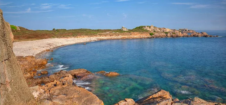
Thirty-two years of movement: the survey covers 1990 to 2022. More than half of Odisha’s coast gained land in that window; a little over a quarter lost it.
Jagatsinghpur loses 47.6 per cent of its shoreline, Ganjam 45.7, Kendrapada 45. The state average of 28.3 per cent describes none of them.
At a Glance
• Study: shoreline change assessment, National Centre for Coastal Research
• Parent body: Ministry of Earth Sciences
• Period: 1990–2022, thirty-two years
• Coastline assessed: 564.14 km, Odisha
• Under erosion: 28.3 per cent
• Accreting (gaining land): 54.1 per cent
• Stable: 17.6 per cent
• Worst affected district: Jagatsinghpur, 47.6 per cent
• Then: Ganjam 45.7 per cent · Kendrapada 45 per cent
• Hotspots named: north of Gopalpur port, Mayurpada and Bhramarakudi (Ganjam); both sides of the Chilika sea mouth, Keutajanga and the Devi mouth (Puri)
• Placed on record: Rajya Sabha, by Union Minister Sarbananda Sonowal
Look at the district breakdown and the state average dissolves. Jagatsinghpur has 47.6 per cent of its coast eroding, Ganjam 45.7 and Kendrapada 45 — each roughly two-thirds worse than the state figure. The named hotspots are more specific still: the stretch north of Gopalpur port, Mayurpada and Bhramarakudi in Ganjam; both sides of the Chilika sea mouth, Keutajanga and the Devi river mouth in Puri. Anyone who has read a coastal engineering brief will recognise the pattern in that list. Erosion clusters immediately updrift or downdrift of hard structures — ports, jetties, breakwaters, trained river mouths — because those structures interrupt the sediment conveyor that would otherwise have replenished the beach.
That is why this dataset is a planning instrument rather than a warning. It tells a coastal district which villages to prioritise for setback lines and mangrove restoration, and it tells the ports sector where a sediment bypass system would repay its cost. Odisha already holds one of India’s better records on cyclone survival, built over three decades of shelters, early warning and evacuation drill; the same institutional muscle now needs to be pointed at slow-onset change, which kills nobody in a night but takes a village over twenty years. The instruments exist — the Coastal Regulation Zone framework, the National Coastal Mission, the Shoreline Management Plans mandated for erosion-prone stretches. What the NCCR series adds is the map that tells the state where to spend first. Thirty-two years of satellite record is a rare thing in climate policy: a number long enough to plan against.