
Blitz Bureau
NEW DELHI:
A monsoon is not a single number, and this one has spent two months proving it. India entered July with a seasonal rainfall deficit of about 40% after the fifth driest June since records began in 1901. Heavy showers in the first week of July cut that deficit to roughly 14%. A prolonged dry spell in the second week pushed it back to 24%. Widespread rain between July 21 and 24 brought it down again to about 15%. July itself closes around 10% below its long period average of 280.4 mm, with the shortfall concentrated in parts of north and central India.
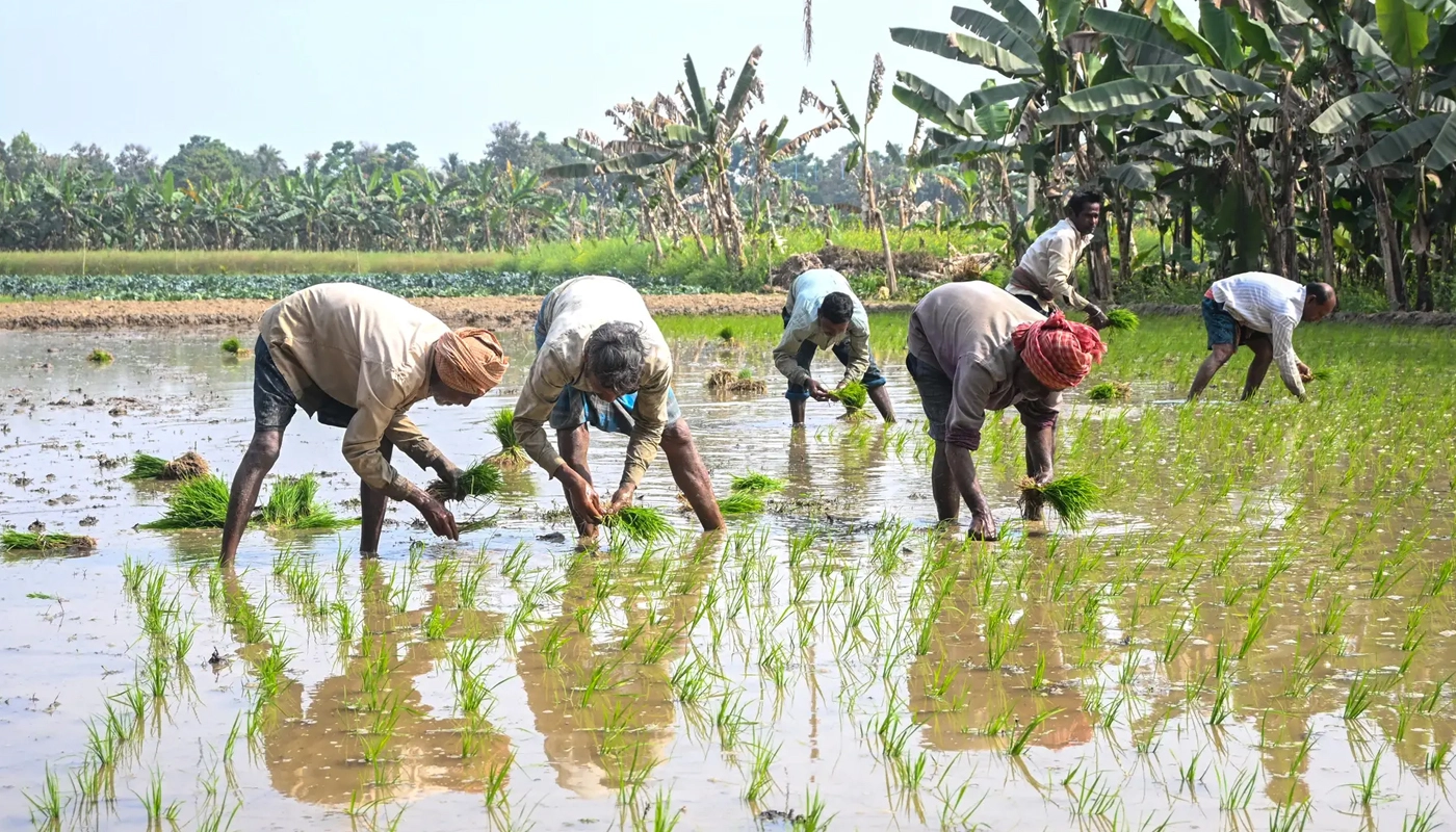
What matters more than the national average is where the rain fell and when. July is the month in which kharif crops are sown and established, and a field does not care about a country-level figure — it cares whether soil moisture was adequate in the fortnight its seed went in. Sowing was running behind last year at about 35.1 million hectares in early July, with rice, pulses and coarse cereals showing the widest gaps. The late-July revival arrived inside the window where a delayed sowing can still be made good, which is why the same rainfall pattern would have been far more damaging a fortnight earlier.
Timing beats totals: a field responds to the rain it received in the fortnight its seed went in, not to a national seasonal average — which is why late-July showers mattered more than the headline deficit suggests.
The deficit went 40, then 14, then 24, then 15. A monsoon that moves like that is not a forecast problem. It is a water-storage problem.
At a Glance
• June: 99.5 mm of rainfall, about 40% below normal — the fifth driest June since 1901
• Season deficit path: about 40% → 14% → 24% → about 15% after rain on July 21–24
• July: closes roughly 10% below normal; the month’s long period average is 280.4 mm
• Where short: parts of north and central India, and the interior and south-east peninsula
• IMD outlook: August at 97% of the long period average, ±9%; the second half of the season likely normal
• Next 10 days: better distribution over east, north-east and north-west India; a weaker phase over Maharashtra and Gujarat
• Kharif sowing: about 35.1 million hectares in early July, behind last year
The outlook is the encouraging part. The India Meteorological Department’s long range forecast puts August rainfall at 97% of the long period average with a margin of nine percentage points either way, and expects the second half of the four-month season to be broadly normal. East, north-east and north-west India are expected to see better distribution over the coming ten days. Central India, including Maharashtra and Gujarat, is likely to pass through a relatively weak phase, and the interior and south-eastern peninsula is expected to stay deficient — which means the remaining risk is regional rather than national, and can be managed regionally.
That is where the constructive agenda sits. A monsoon that swings between a 40% deficit and near-normal within four weeks is not primarily a forecasting failure — the IMD’s outlooks have tracked the season reasonably — it is an argument for buffering. The instruments that turn volatility into a manageable inconvenience are known and largely in place: farm-pond and check-dam construction under the watershed programmes, which store a fortnight’s excess for the fortnight it goes missing; the recharge works completed under Jal Sanchay Jan Bhagidari; contingency seed plans that let a district switch to a shorter-duration variety when sowing slips; and crop insurance that pays on measured rainfall rather than on assessed loss, so the money arrives in weeks rather than months. The task for the rest of this season is targeting: publish district-level soil-moisture and sowing dashboards so extension services can push short-duration seed and irrigation support to the specific blocks that fell behind, rather than to states as a whole. India cannot make the monsoon steadier. It can make its farmers less exposed to the difference.