
Blitz Bureau
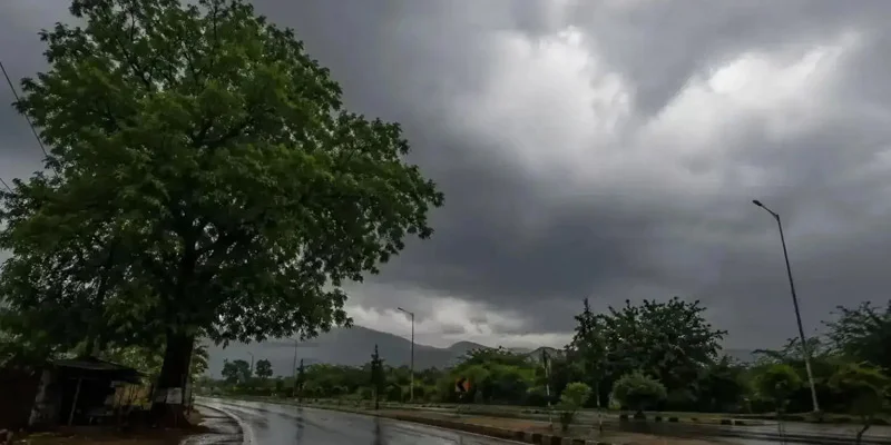
NEW DELHI: The monsoon reaches one of its sharpest points of the season this week, and the north will feel it first. The India Meteorological Department has warned of isolated extremely heavy rainfall over Himachal Pradesh and Uttarakhand today, with Jammu & Kashmir in the firing line through July 22, as a low-pressure area over the northwest Bay of Bengal deepens and a fresh western disturbance rolls into the hills. The heaviest spells are expected around today and tomorrow, and the department has placed a flash-flood and landslide watch over the mountain districts — even as the same system brings gentler, cooling showers to Delhi and the northern plains.
The geography of the risk is precise. Uttarakhand’s hill districts — Dehradun, Nainital, Chamoli, Pauri Garhwal, Rudraprayag and Pithoragarh among them — sit under the sharpest warnings, where saturated slopes can turn a cloudburst into a hazard within minutes, and where swollen streams carry the danger downhill. State disaster-response teams have been pre-positioned, hill highways are being watched for slips, and pilgrims and tourists on the mountain routes have been asked to plan around the alerts. On the plains the same clouds read differently: for Delhi-NCR they mean light-to-moderate rain, cleaner air and a welcome break from the pre-monsoon heat.
The peak days: The IMD flags isolated extremely heavy rain over Himachal and Uttarakhand today, with J&K in the watch through July 22 — even as lighter showers cool Delhi and the plains.
The same rain that cools a city can corner a valley. A monsoon-ready nation is measured by how early it sees the water coming, and how fast it moves people out of its way.
At a Glance
• Today’s peak: isolated extremely heavy rain over Himachal Pradesh and Uttarakhand
• Extended: J&K in the heavy-rain watch through July 22; heaviest spells July 20–21
• Watch: flash-flood and landslide risk across Uttarakhand’s hill districts
• Capital: Delhi-NCR light-to-moderate rain, thunder and cooler air
It is worth holding both truths at once. This is the rain that recharges India’s reservoirs, wets the soil for the kharif sowing that feeds the country, and refills aquifers a long dry summer drew down; a strong, well-spread monsoon is among the most welcome things that can happen to the economy. The task is to capture that benefit while blunting the sharp edge of the same weather — the sudden inundation of a hill town, the landslide across a highway, the swollen river downstream — so that a season of plenty does not double as a season of loss.
The constructive read is that India’s monsoon machinery has grown quietly more capable, and the way forward is to keep sharpening it. District-level, impact-based warnings, an early-alert chain that reaches the last village by phone and siren, response units stationed before the cloudburst rather than after, and steady investment in drainage, embankments and slope stabilisation together turn raw rainfall into managed risk. Handled with that seriousness, the peak of the monsoon stays what the season has always been for India — not a threat to be feared, but a resource to be harvested safely.