
Blitz Bureau
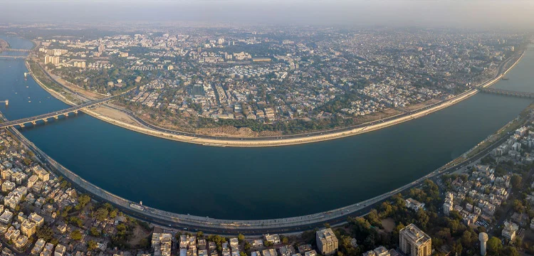
NEW DELHI: The India Meteorological Department’s red alert for extremely heavy rainfall across Gujarat has taken schools and colleges in Ahmedabad out of session today, with forecasts pointing to as much as eight inches of rain over the city in a single day. District administrations across the affected belt have been issuing local closures through Thursday evening rather than waiting for a state-wide instruction — a decentralised approach that gets decisions closer to the actual rain gauge.
Gujarat is not alone. The IMD has flagged isolated extremely heavy rainfall over Madhya Maharashtra, Marathwada, Telangana and Vidarbha; significant rain across Himachal Pradesh until August 1; thunderstorms with heavy rain over Punjab, and continued heavy spells across Haryana and Chandigarh. Delhi is expected to see light to moderate rain with thunder, with isolated pockets of much heavier showers.
Concentration, not abundance: a red alert delivering a large share of a month’s rain in a day sits alongside a July that finishes below its long period average nationally — the same season, experienced very differently by district.
A month can be short of rain and still drown a city in an afternoon. India’s monsoon problem is increasingly one of distribution, not of totals.
At a Glance
• Red alert: extremely heavy rainfall across Gujarat; Ahmedabad schools and colleges closed today
• City forecast: up to about eight inches of rain over Ahmedabad in a day
• Also under alert: Madhya Maharashtra, Marathwada, Telangana, Vidarbha
• North: heavy rain over Himachal Pradesh until August 1; Punjab, Haryana and Chandigarh under continuing spells
• Delhi: light to moderate rain with thunderstorms; isolated heavy pockets
• July outlook: nationwide rainfall below 94% of the long period average, with normal to above-normal rain confined largely to parts of the north-west, north-east, east-central India and the eastern peninsula
• Closures: issued district by district; no nationwide holiday announced
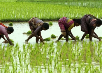
The apparent contradiction — a red alert in one state while the national July figure runs below the long period average — is the defining feature of the modern Indian monsoon rather than an anomaly. Rain is arriving in fewer, heavier events separated by longer dry spells. For a city that means the drainage system faces its design maximum more often; for a farmer it means the sowing window and the rainfall window are more likely to miss each other, even in a year when the seasonal total looks acceptable.
Both halves of that problem have known, unglamorous answers, and India has been building them. On the urban side, the value of a red alert lies entirely in what happens in the twelve hours after it is issued: pre-positioned pumps at the known waterlogging points, storm-water outfalls cleared before the peak rather than during it, and closure decisions taken early enough that families are not commuting through the worst of it — which is exactly what Ahmedabad’s district administration has done. On the rural side, the buffering instruments are farm ponds, check dams and the recharge works completed under the watershed and Jal Sanchay programmes, which store a fortnight’s excess for the fortnight it goes missing. The most useful addition this season would be district-level soil-moisture and sowing dashboards, so extension services can direct short-duration seed and irrigation support precisely to the blocks that fell behind, instead of to states as a whole. India cannot make the monsoon steadier. It can make each district less exposed to the difference.