

Blitz Bureau
NEW DELHI: The rains have returned to full strength over the northern mountains. The India Meteorological Department has placed a red warning over parts of Himachal Pradesh, Uttarakhand, Jammu & Kashmir and Ladakh for Wednesday, with extremely heavy falls possible at isolated spots and a real risk of flash floods and landslides on saturated slopes. In Uttarakhand, districts including Dehradun, Nainital, Chamoli, Pauri Garhwal, Rudraprayag and Pithoragarh are among those named; on the plains, a wider band of heavy-rain alerts stretches across Delhi and more than a dozen states as the southwest monsoon draws back into an active phase.
Officials are working the forecast rather than chasing it. River levels are being watched in the hill valleys, disaster-response teams are pre-positioned, and travel advisories are out for the pilgrimage and tourist routes that thread the mountains. In terrain this steep, the danger is less the total rainfall than its speed — a cloudburst can turn a stream into a torrent within minutes — so the emphasis has shifted to keeping highways clear, drains flowing and residents reachable by phone and siren through a volatile spell.
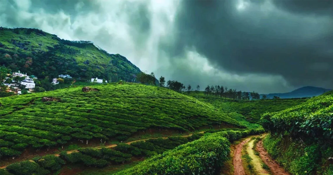
An active phase: IMD’s red warning covers parts of Himachal, Uttarakhand, J&K and Ladakh, with flash-flood and landslide risk in named hill districts — response teams pre-positioned.
In the mountains it is not the depth of the rain that kills but its speed. Warning time is the whole battle.
At a Glance
• Red warning: parts of Himachal, Uttarakhand, J&K and Ladakh
• Risk: flash floods and landslides on saturated slopes
• Watched districts: Dehradun, Nainital, Chamoli, Pauri, Rudraprayag, Pithoragarh
• Plains: heavy-rain alerts across Delhi and 12+ states
It is worth holding both truths together. This is the rain that recharges reservoirs, wets the soil for the kharif crop that feeds the country and refills the aquifers a long summer drew down; a strong, well-spread monsoon is among the most welcome things the economy can receive. The task is to capture that benefit while blunting the sharp edge of the same weather — the sudden inundation of a hill town, the slip across a highway, the swollen river downstream.
The constructive read is that India’s early-warning system has grown quietly more capable, and an active spell is exactly what it is built for. The way forward is to keep the warning chain reaching the last village, hold response units in place through the full stretch rather than only at the forecast peak, and keep investing in drainage, embankments and slope stabilisation. Handled with that steadiness, a fierce monsoon week remains what the rains have always been for India — a resource to be harvested safely rather than a hazard merely endured.