
Blitz Bureau
NEW DELHI: After years of trying, India is finally consolidating its military readiness and moving it directly into the country’s civil infrastructure. It is no longer a drawing-board idea; instead, it has entered a phase of practical operational consolidation. One can now see engineering of the highest quality that has not only transformed the logistics build-up timeline in the area but also streamlined asset movement.
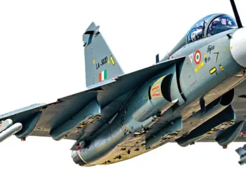
High-altitude assets such as the Sela Tunnel and Nyoma Airfield demonstrate that civil transport corridors can be rapidly converted for military deployment. The Sela Tunnel, commissioned in March 2024, lies just 400 metres below the Sela Pass and is a key gateway to Tawang, cutting travel time on a critical artery that used to be cut off by snow every winter. Nyoma, at 13,700 feet, is now the world’s highest fighter jet airfield, close enough to the Line of Actual Control that IAF veterans have called it a genuine game-changer.
GatiShakti framework
The other major transformation has come through the PM GatiShakti framework, a one-stop platform for logistics solutions. The armed forces are now active participants in GatiShakti: most civil infrastructure, including highways and bridges, especially in border states, is engineered to bear the weight of 70-ton armoured columns. National highways are made with reinforced strips ready to function as emergency airfields.
Even the energy supply chain has adapted: diesel, developed jointly by defence engineers and public-sector oil companies for forward areas, is available to both the armed forces and the civil population in the forward areas. Between 2020 and 2025, the Border Roads Organisation finished more than 450 projects worth close to Rs 16,000 crore, with 75 of them, spanning Ladakh, Arunachal Pradesh and other border areas, inaugurated in a single push in October 2024.
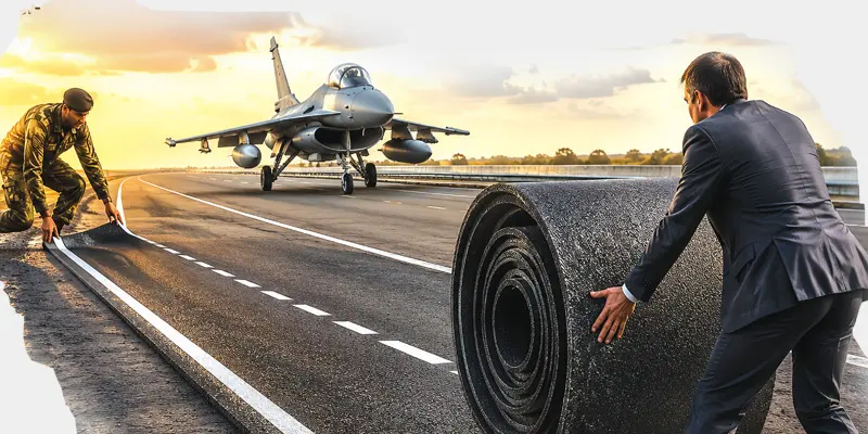
On the highway side, the IAF and the National Highways Authority of India have now identified close to 28 stretches, from Barmer’s NH-925 (the Rajasthan border) to a new strip near Dibrugarh in Assam that can double as runways in emergencies and war.
Operational gaps
If all this is humming beautifully, are there vulnerabilities? Several, and serious. Multiple operational gaps can turn this civil-military infrastructure enterprise turtle unless rectified on a war footing.
The problem is that civil-military integration has focused overwhelmingly on hard, concrete measures while ignoring vulnerabilities in soft infrastructure. One example is the 5G towers dotting border areas, put up by private telecom companies. None of these civilian grids carries military-grade encryption or electronic warfare hardening. They are sitting ducks for both cyber penetration and eavesdropping.
This monsoon has told us the story of our highways. Now imagine a warlike situation, where, in an emergency, it would be impossible for any aircraft to land on the Jaipur or Lucknow highways simply because the institutions meant to maintain these roads for high-speed jet fighters have failed to create a mechanism for sustained maintenance. This will leave the Air Force sending its own men to do routine road maintenance. The Barmer strip, opened in 2021, and the Agra-Lucknow expressway landings before it were meant to prove the concept works.
The problem is that civil-military integration has focused overwhelmingly on hard, concrete measures while ignoring vulnerabilities in soft infrastructure
What remains unresolved is an institutional framework to ensure these stretches stay in top condition after the trials. The military must also overcome its paranoia about secrecy and classification: GatiShakti remains a frustratingly one-way street. While military logistics planners rely heavily on GIS data, civilian infrastructure planners have little idea of real-time military movement, creating bottlenecks before troops reach the frontier.
The Chinese Model
The Defence Ministry is aware of this disconnect, as evident from Defence Minister Rajnath Singh’s remarks on the need for deeper integration between uniformed officers and the civil bureaucracy. He said no amount of infrastructure readiness will help if institutions continue working in silos, without a clear, well-developed MOU to serve as the operational framework between the two sides. How can operational jointness on the battlefield be achieved if civilian bureaucrats and military commanders operate on entirely different administrative tempos?
What India needs now is the Chinese model. Without a laid-down mandate, this cooperation rests on goodwill, and that is not good enough. In China, the legally enforced military-civil fusion strategy obliges every commercial entity to build dual-use assets to strict military specifications. India’s model, by contrast, rests on voluntary coordination and state-level political compliance. Given our political structure, we’ll get more misses than hits, and it’s time to change that.
While military logistics planners rely heavily on GIS data, civilian infrastructure planners have little idea of real-time military movement, creating bottlenecks before troops reach the frontier